Living in Eastlake, Seattle: A Renter's Guide
Eastlake is a neighborhood of apartments, houseboats and small waterfront parks on the east shore of Lake Union, with a bus line on Eastlake Avenue that runs around the clock to South Lake Union, downtown and the University of Washington. It suits renters who work in South Lake Union, at Fred Hutch, at UW Medicine or at the UW and want the lake a short walk from home.
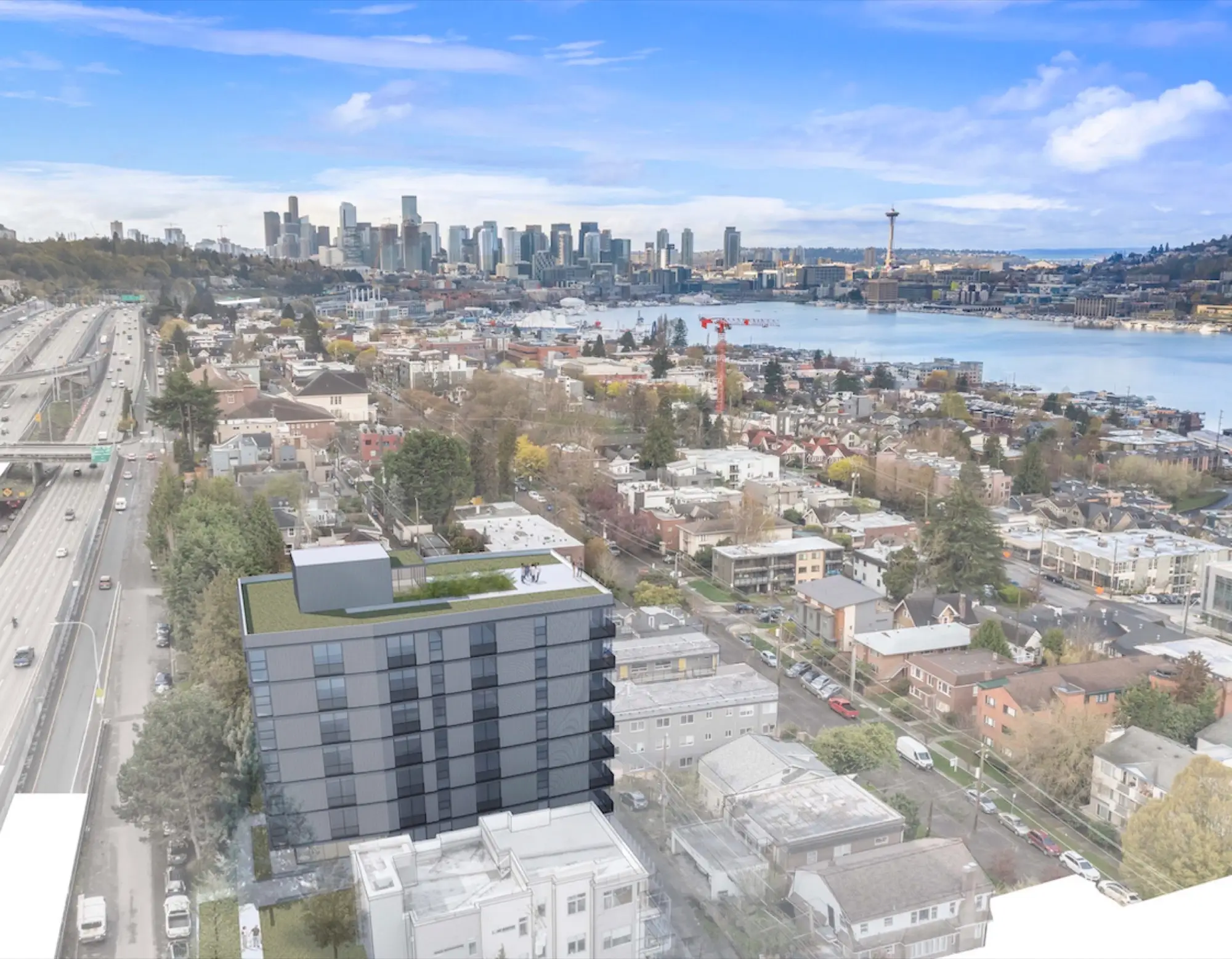
Eastlake is the narrow strip of Seattle between Lake Union and Interstate 5. It mixes homes and apartment buildings with a small business district on Eastlake Avenue E and a shoreline of floating homes, marinas and street-end parks.
Where Eastlake is and what it’s like
Eastlake is a long, narrow lakeside neighborhood with South Lake Union at its south end and the University District across the bridge at its north end. The Eastlake Community Council and HistoryLink place its edges at the lake on the west, I-5 on the east and the Mercer Street corridor on the south.
Eastlake Avenue E is the main street, with the bus line, cafes and offices. Fairview Avenue E runs along the water, past houseboat docks and street-end parks.
Eastlake’s zip code is 98102
Eastlake’s zip code is 98102. Seattle Parks lists Rogers Playground, Fairview Park and Terry Pettus Park under 98102. The zip also covers the north end of Capitol Hill, including Roanoke Park, so a 98102 listing isn’t always in Eastlake. Toward South Lake Union, some addresses use 98109, including Fred Hutch’s main campus at 1100 Fairview Ave N.
Getting around: Route 70, bikes and parking
Eastlake’s main transit line is King County Metro Route 70, which runs on Eastlake Avenue between the University District, South Lake Union and downtown. Its current timetable, in effect through March 26, 2027, runs around the clock: about every 10 minutes at weekday rush hours, every 15 minutes midday and on weekend days, and about every 30 minutes overnight. It also stops at U District Station for Link light rail.
The street is being rebuilt for the RapidRide J Line, which replaces Route 70 in 2027. SDOT’s fact sheet says J Line buses will come at least every 10 minutes in the busiest hours, adds protected bike lanes on Eastlake Ave E, and anticipates completion in fall 2027. Metro reported construction more than halfway done in September 2026, so expect lane shifts and moved stops until then.
The Cheshiahud Lake Union Loop, named for the leader of the Duwamish village on Lake Union, runs through Eastlake. The Washington Trails Association puts it at about six mostly paved miles, crossing the University Bridge and following the Burke-Gilman Trail.
Curb space is limited. Eastlake is Restricted Parking Zone 8, with a standard limit of two hours except by permit, 7 a.m. to 6 p.m., Monday through Saturday, and the J Line project removes most curbside access on Eastlake Ave E. Ask each building how parking works.
Commute times from Eastlake
By bus, South Lake Union and the UW are usually under 20 minutes from Eastlake, and downtown is roughly 10 to 30 minutes. Capitol Hill is next door but uphill, with no direct bus.
Those ranges come from Metro’s timetable, which schedules the full Route 70 run between South Lake Union’s Fairview Avenue stops and the UW’s Campus Parkway stop at 11 to 21 minutes, depending on direction and time of day. Every Eastlake stop falls in between, and downtown’s 3rd Avenue stops add another 6 to 13 minutes.
- South Lake Union: Fred Hutch’s main campus is at 1100 Fairview Ave N, and UW Medicine’s research complex is between Mercer and Republican streets, from Dexter Avenue N to 9th Avenue N.
- University of Washington: By bus to Campus Parkway, or on foot or by bike across the University Bridge from north Eastlake.
- Capitol Hill: Climb the E Howe Street steps, a public stairway noted in the council’s shoreline walking guide, or take Route 70 to U District Station and Link two stops south to Capitol Hill Station.
Lake Union: houseboats, street ends and paddling
Lake Union is Eastlake’s front yard: floating homes, marinas and small public parks at the ends of streets, several with water access.
Seattle has set aside 149 waterfront street ends as special rights of way for public use, and Eastlake has a long run of them along Fairview Avenue E. The council’s shoreline walking guide covers each one. Three to start with:
- Louisa Street End: nicknamed the Bouledrome, with a petanque court.
- Roanoke Street Mini Parks: on the site of the hangar where William Boeing’s first plane was assembled in 1916.
- Allison Street End Park: built in 2018, accessible, with direct water access.
Houseboats have floated here for more than a century, and HistoryLink notes that owners formed the Floating Homes Association after a 1962 project wiped out 73 moorages. The docks are people’s homes, so enjoy them from the street ends.
Fairview Park has a small hand-carry launch with a low float and a two-hour tie-up limit. Terry Pettus Park has one too, though Seattle Parks lists its lower portion as closed for now due to unsafe conditions. Lake Union is a working lake with boats and floatplanes, so stay near shore. At Flow Eastlake, across the street from the lake, residents get direct beach access and kayak and paddleboard storage.
Parks and green space in Eastlake
Eastlake’s green space comes in small pieces: a playfield, a hillside park with a community garden, trails under the freeway and the street ends along the water.
- Rogers Playground (also called Rogers Playfield), 2516 Eastlake Ave E: a youth baseball and softball field, a youth soccer field, two tennis courts, a play area and restrooms, per Seattle Parks.
- Fairview Park, 2900 Fairview Ave E: a stair linking Eastlake and Fairview avenues, lake views, picnic tables and the hand-carry launch, plus the Eastlake P-Patch, one of Seattle’s earliest P-Patches, with about 50 plots and paths anyone can walk.
- I-5 Colonnade, 1701 Lakeview Blvd E: trails, bike paths and a tiered off-leash dog area under the freeway, including the Tqalu Skills Zone mountain bike area, modernized in 2025 with a paved track and a beginner-friendly adaptive track. Some southeastern paths are closed for now.
- Terry Pettus Park, 2001 Fairview Ave E: a small shoreline park named for the journalist and activist who championed Seattle’s floating homes.
A short history of Eastlake
Eastlake began as a streetcar suburb in the late 1800s, grew into a working waterfront, and lost hundreds of homes and businesses when I-5 was built along its eastern edge in the early 1960s, according to the council’s history.
HistoryLink dates its identity to 1885, when a horse-drawn streetcar reached the east shore. William Boeing built a seaplane hangar at the foot of Roanoke Street in 1916, and by the mid-1920s the shore held shipyards, moorages, a propeller factory and the City Light steam plant.
Houseboat owners fought to stay. Terry Pettus, who moved onto a houseboat in 1958, became their leading advocate, and in 1977 the city adopted a revised Equity Ordinance protecting floating home owners from unreasonable moorage rent increases and sudden eviction, as Seattle Parks recounts. In 1971, the newly formed Eastlake Community Council joined the Floating Homes Association in a lawsuit against Roanoke Reef, an over-water condominium project that was never finished. Houseboats now sit on its pilings.
The council still holds community meetings, music and movie nights, and nature and history walks, and publishes Eastlake News at eastlakeseattle.org.
Is Eastlake, Seattle safe?
For a specific block, the most reliable answer comes from the Seattle Police Department’s public data, not from a landlord, including us.
Eastlake is in SPD’s West Precinct. SPD publishes a Crime Dashboard, and its full incident data since 2008 is on the city’s open data portal, updated daily, where Eastlake is split into two areas, an East and a West. SPD’s Find your MCPP Neighborhood tool shows which area, precinct and beat an address falls in.
Look at a full year rather than one month, separate property crimes from crimes against persons (the dashboard uses the FBI’s NIBRS categories), and compare Eastlake with a neighborhood you know. Then visit at different times of day and walk from the bus stop to the door.
Groceries, food and daily errands
Eastlake has a neighborhood grocery for everyday basics, and for a bigger supermarket you’ll make a short trip to a neighboring area.
The council’s business directory lists Pete’s Supermarket & Wine Shop, with wine and beer, fresh meat, produce, everyday essentials and a deli. The Whole Foods Market at 2210 Westlake Ave is one larger option outside the neighborhood. For places to eat, see our guide to restaurants in Eastlake, Seattle.
Who Eastlake suits
Eastlake fits renters who want a short commute to South Lake Union or the UW, like having the lake nearby, and can live without easy street parking.
- South Lake Union workers, including Fred Hutch and UW Medicine staff.
- UW students, faculty and staff, by bus or across the University Bridge.
- Paddlers, runners and cyclists, with street ends and the Lake Union loop close by.
- People without a car, since the bus runs around the clock.
I-5 runs along the east side, so if traffic noise matters, visit at night too.
Apartments in Eastlake: Flow and Lyla
We lease two buildings in Eastlake.
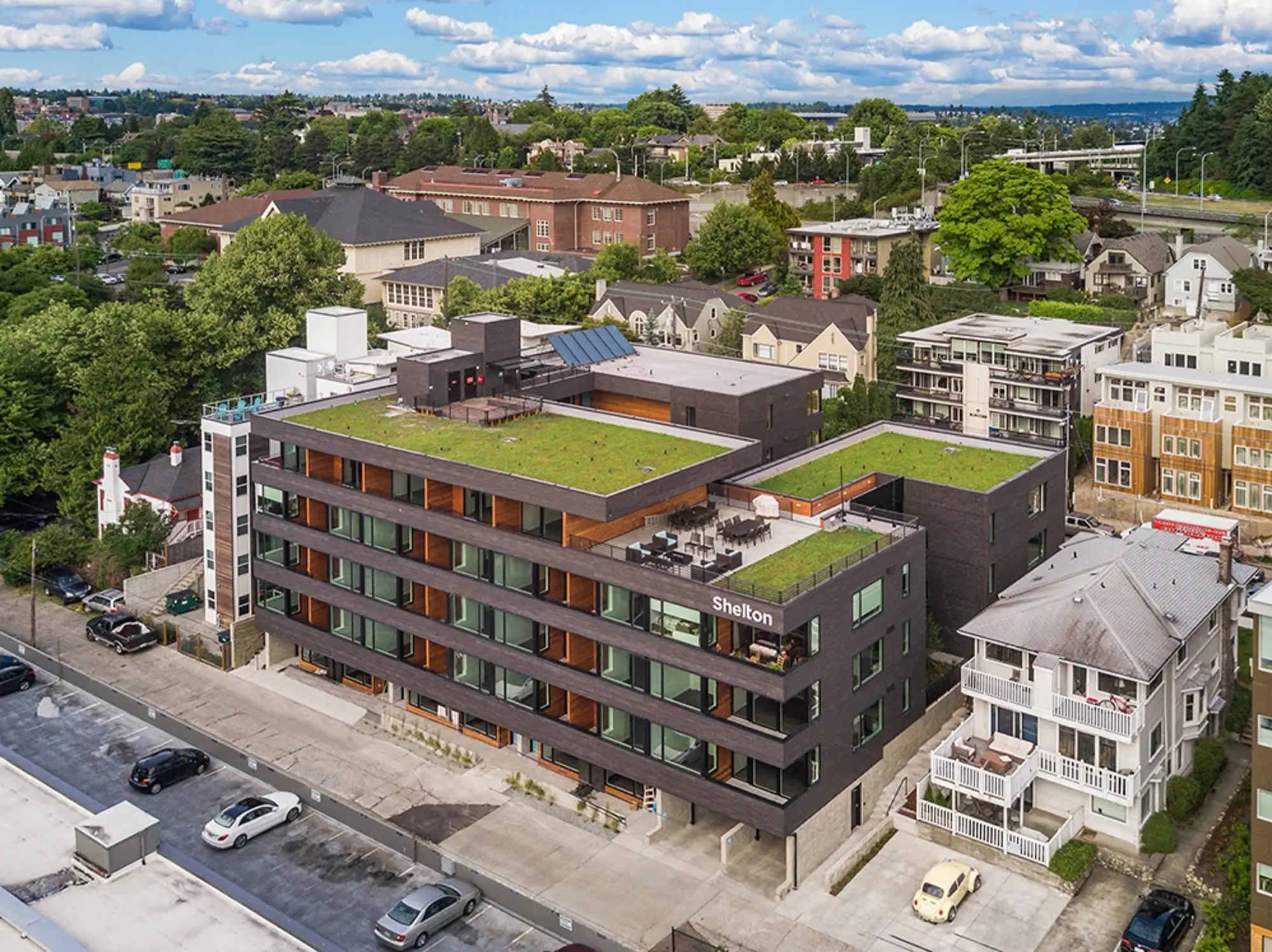
- Flow Eastlake, 3150 Fairview Ave E: across the street from Lake Union, with direct beach access, kayak and paddleboard storage, a rooftop terrace, and studio to two-bedroom homes, including MFTE income-qualified homes. Under Seattle’s Multifamily Tax Exemption program, some homes in market-rate buildings are rent-restricted for qualifying households, and you apply through the building, per the Seattle Office of Housing.
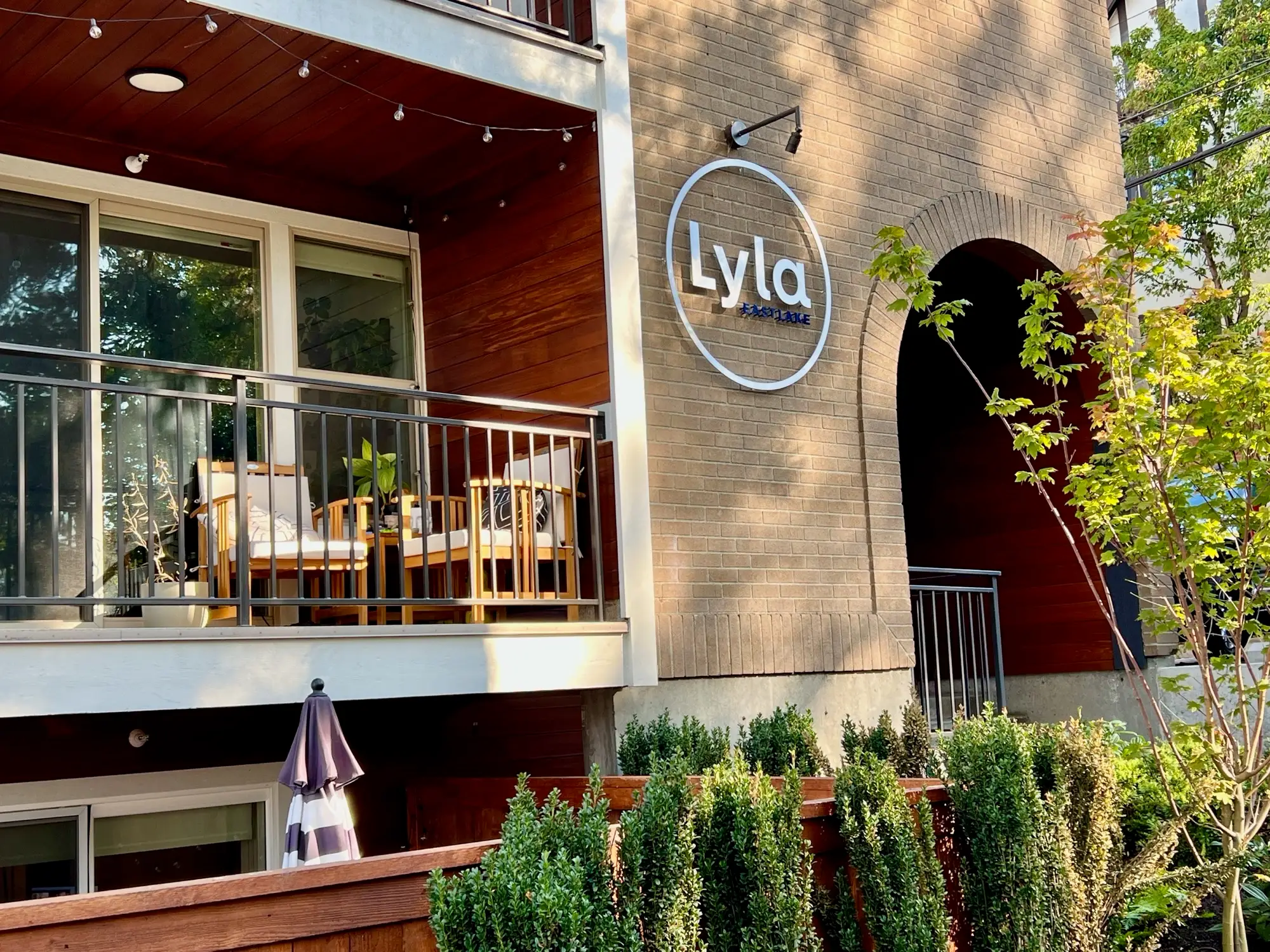
- Lyla Eastlake, 2600 Eastlake Ave E: a 1961 building fully renovated in 2021, pet friendly, with studio to two-bedroom homes.
Compare both on our Eastlake apartments page.
Quick answers
What is the zip code for Eastlake, Seattle?
Eastlake's zip code is 98102. Some addresses toward South Lake Union, such as Fred Hutch at 1100 Fairview Ave N, use 98109.
Can you live in Eastlake without a car?
Yes, if you're comfortable with transit and bikes. Route 70 runs around the clock, and the J Line is due in 2027 along with protected bike lanes on Eastlake Ave E. Plan your weekly grocery run, since the council's directory lists one grocery in the neighborhood.
How long is the bus ride from Eastlake to the University of Washington?
Usually under 20 minutes to Campus Parkway on Route 70. From north Eastlake, you can also walk across the University Bridge.
Can you kayak or paddleboard on Lake Union from Eastlake?
Yes. Use the hand-carry launch at Fairview Park or a street end with water access, such as Allison Street End Park, and stay near shore.
Is parking hard to find in Eastlake?
Curb space is limited. Eastlake is Restricted Parking Zone 8, and the J Line project removes most curbside access on Eastlake Ave E.
Sources
- Eastlake Community Council, home page: https://www.eastlakeseattle.org/ (accessed 2026-11-07)
- Eastlake Community Council, “Eastlake History”: https://www.eastlakeseattle.org/archives/eastlake-history (accessed 2026-11-07)
- Eastlake Community Council, “Eastlake Shoreline Walking Guide”: https://www.eastlakeseattle.org/land/eastlake-shoreline-walking-guide (accessed 2026-11-07)
- Eastlake Community Council, “Eastlake P-Patch Community Garden”: https://www.eastlakeseattle.org/land/eastlake-p-patch-community-garden (accessed 2026-11-07)
- Eastlake Community Council, business directory: https://www.eastlakeseattle.org/eastlake-business-directory (accessed 2026-11-07)
- HistoryLink, “Seattle Neighborhoods: Eastlake, Thumbnail History” (Essay 3255): https://www.historylink.org/File/3255 (accessed 2026-11-07)
- King County Metro, Route 70 schedule and map: https://kingcounty.gov/en/dept/metro/routes-and-service/schedules-and-maps/schedule?route=070 (accessed 2026-11-07)
- King County Metro, Route 70 timetable data, effective Aug 29, 2026 to Mar 26, 2027: https://kingcounty.gov/-/media/king-county/depts/metro/fe-apps/schedule-app-and-data/08292026/data/xml/SEPT26_Timetable_070.xml (accessed 2026-11-07)
- King County Metro blog, “RapidRide J Line upgrades take shape in Eastlake, U District, South Lake Union”: https://kingcountymetro.blog/2026/09/17/rapidride-j-line-upgrades-take-shape-in-eastlake-u-district-south-lake-union/ (accessed 2026-11-07)
- Seattle Department of Transportation, RapidRide J Line: https://www.seattle.gov/transportation/projects-and-programs/programs/transit-program/transit-plus-multimodal-corridor-program/rapidride-j-line (accessed 2026-11-07)
- Seattle Department of Transportation, RapidRide J Line fact sheet (Sept. 2025): https://seattle.gov/documents/Departments/SDOT/TransitProgram/RapidRide/Roosevelt/2025_0930_RRJL_Fact%20Sheet_English.pdf (accessed 2026-11-07)
- Seattle Department of Transportation, Eastlake Restricted Parking Zone 8: https://www.seattle.gov/transportation/EastlakeRPZ (accessed 2026-11-07)
- Seattle Streets Illustrated (SDOT), Shoreline Street Ends: https://streetsillustrated.seattle.gov/urban-design/public-space/shoreline-street-ends/ (accessed 2026-11-07)
- Sound Transit, 1 Line schedule: https://www.soundtransit.org/ride-with-us/routes-schedules/1-line (accessed 2026-11-07)
- Seattle Parks and Recreation, Rogers Playground: https://www.seattle.gov/parks/parks/rogers-playground (accessed 2026-11-07)
- Seattle Parks and Recreation, Fairview Park: https://www.seattle.gov/parks/allparks/fairview-park (accessed 2026-11-07)
- Seattle Parks and Recreation, I-5 Colonnade: https://www.seattle.gov/parks/allparks/i-5-colonnade (accessed 2026-11-07)
- Seattle Parks and Recreation, Terry Pettus Park: https://www.seattle.gov/parks/allparks/terry-pettus-park (accessed 2026-11-07)
- Seattle Parks and Recreation, Roanoke Park: https://www.seattle.gov/parks/parks/roanoke-park (accessed 2026-11-07)
- Seattle Parks and Recreation, Cheshiahud Lake Union Loop: https://www.seattle.gov/parks/allparks/cheshiahud-lake-union-loop (accessed 2026-11-07)
- Washington Trails Association, Cheshiahud Lake Union Loop: https://www.wta.org/go-hiking/hikes/chesiahud-lake-union-loop (accessed 2026-11-07)
- Seattle Police Department, Crime Dashboard: https://www.seattle.gov/police/information-and-data/crime-dashboard (accessed 2026-11-07)
- Seattle Police Department, Find your MCPP Neighborhood: https://www.seattle.gov/police/information-and-data/data/mcpp-about/mcpp-location-map (accessed 2026-11-07)
- Seattle Police Department, West Precinct: https://www.seattle.gov/police/about-us/police-locations/west-precinct (accessed 2026-11-07)
- City of Seattle Open Data, SPD Crime Data: 2008-Present: https://data.seattle.gov/Public-Safety/SPD-Crime-Data-2008-Present/tazs-3rd5 (accessed 2026-11-07)
- Fred Hutch, Contact Us: https://www.fredhutch.org/en/about/contact-us.html (accessed 2026-11-07)
- UW News, “Third phase of UW Medicine research complex breaks ground in South Lake Union district” (July 7, 2011): https://www.washington.edu/news/2011/07/07/third-phase-of-uw-medicine-research-complex-breaks-ground-in-south-lake-union-district/ (accessed 2026-11-07)
- Seattle Office of Housing, Find Housing (MFTE): https://www.seattle.gov/housing/renters/find-housing (accessed 2026-11-07)
- Whole Foods Market, Westlake store: https://www.wholefoodsmarket.com/stores/westlake (accessed 2026-11-07)